Data Science Summit 2024 - VOD and live
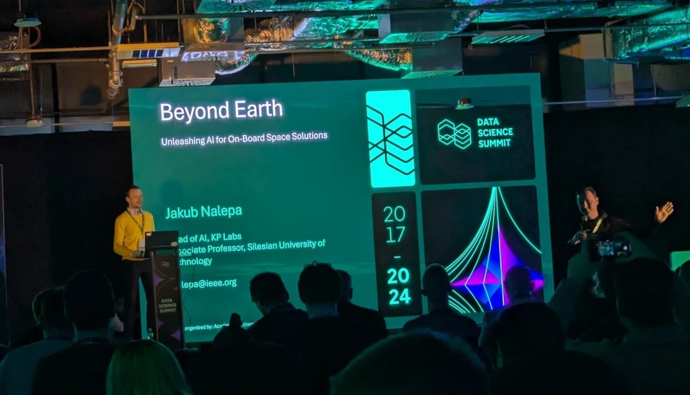
At Data Science Summit is the largest “Data” / AI conference in Central and Eastern Europe (CEE) region. The event is organized by a non-profit organization that aims to foster the development of data science and AI in the region. The conference is a unique opportunity to meet and network with leading experts in the field, as well as to learn about the latest trends and technologies in data science and AI.
Marek’s presentation about the Deepness plugin
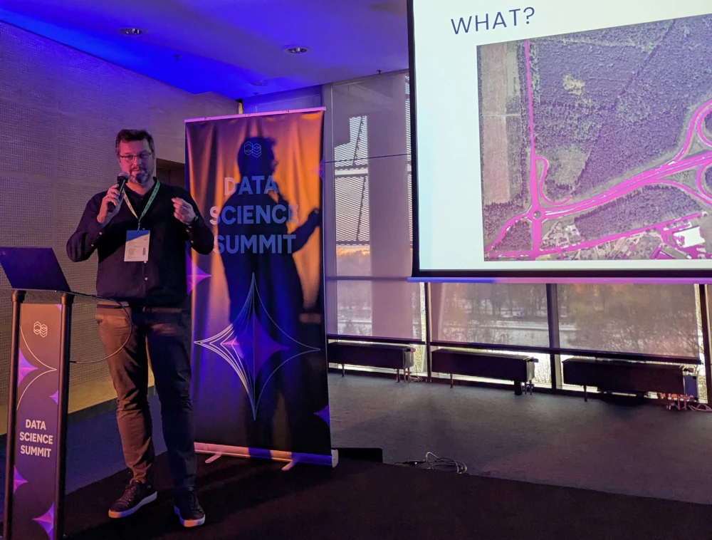
Marek talked about “GIS Gets Smart - Neural Networks for Geospatial Insights With Deepness QGIS Plugin”. The presentation was about the Deepness plugin for QGIS, which allows users to run deep learning models directly in the GIS application. The plugin is designed to be user-friendly and accessible to users without machine learning expertise, enabling them to leverage the power of deep learning in their GIS workflows. Marek demonstrated the plugin’s capabilities and discussed its potential applications in geospatial analysis and remote sensing.
His in-person presentation sparked a discussion about the future of deep learning in GIS and the transformative impact the Deepness plugin could have on the field. The audience responded enthusiastically, reflecting the growing interest in integrating advanced AI tools into geospatial technology.
Przemysław and Bartosz on VOD
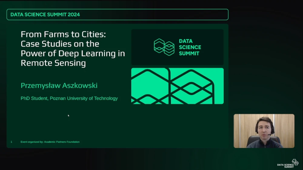
“From Farms to Cities: Case Studies on the Power of Deep Learning in Remote Sensing”
Application of machine learning, especially deep learning in remote sensing, is now easier than ever. The most popular geographic information system (GIS) application - QGIS - thanks to the Deepness plugin allows to run model inference easily. Nevertheless, a significant gap remains for users without machine learning expertise, namely training the neural network models. This presentation is a case study of specific applications, from crop damage segmentation to water permeability of cities. It covert gathering the data, through creation of manual annotations to model training and finally, usage in QGIS, demonstrating what can be achieved with limited training data. The underlying complexity is explained, with pitfalls and tips, which should encourage people to create models for custom applications, and share them with others to develop the field of remote sensing. Demonstration video of crop damage segmentation: https://www.youtube.com/watch?v=54-liHbMg-s.
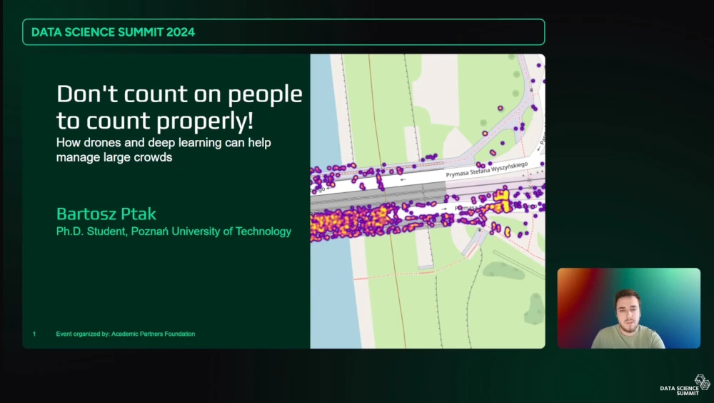
“Don’t count on people to count properly! How drones and deep learning can help manage large crowds”
Managing crowded areas, such as large events, marches, and marathons, remains a challenging task. Recent advancements in deep learning for computer vision and the growing capabilities of aerial platforms offer new possibilities. In our research, we propose an end-to-end solution to aid in crowd management, significantly improving population estimation accuracy and simultaneously indicating the error rates documented in the evaluation. The solution is not limited only to research potential; it can be applied by police, fire departments, or city authorities to enhance the safety analysis of large-scale events.




Comments