


Our visit in the sunflower field with UAVs

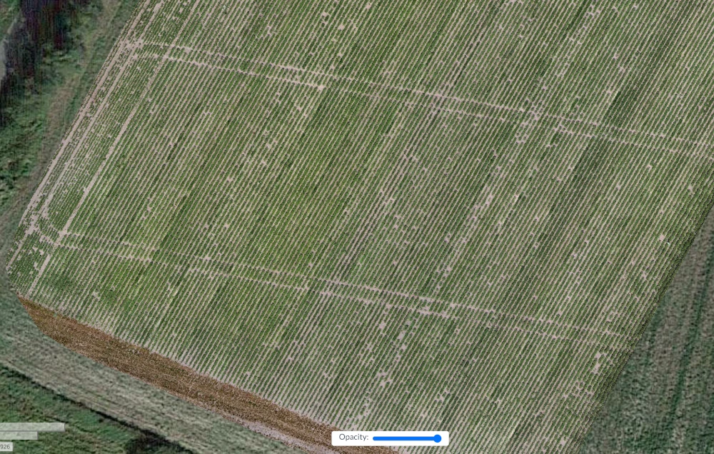
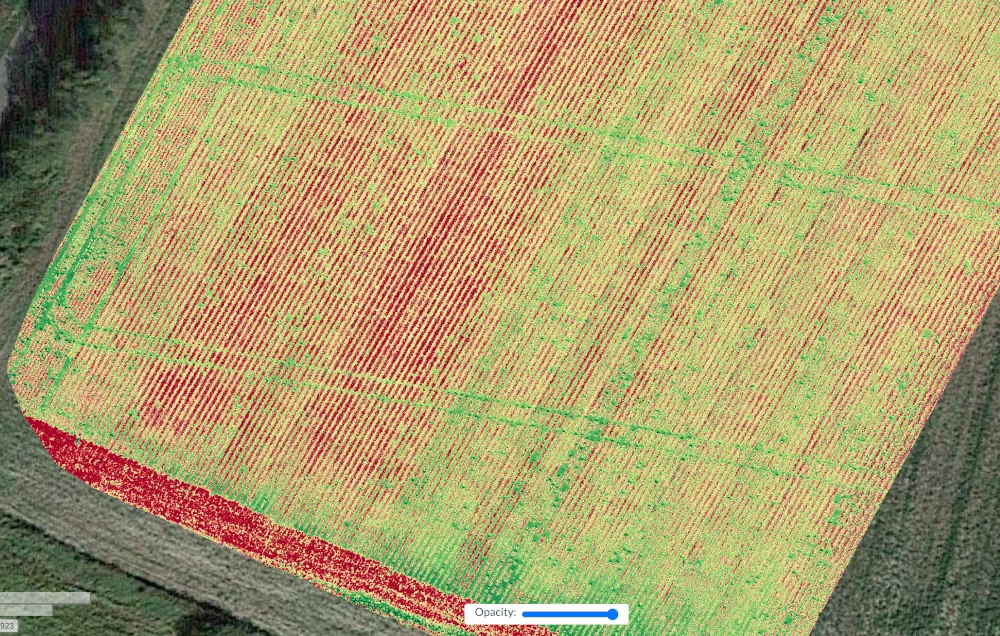
A few days ago we visited the sunflower field in the vicinity of Wrocław, Poland. We used our UAVs to collect the data - we collected RGB and multispectral data. The goal of the research is to improve crop quality and put the automation of agriculture forward.
Example data
After visiting the field, we processed the data to create a whole orthophoto of the field from single images. The multiband maps of fields will be used to train deep learning algorithms. Below, you can see the part of the field in the RGB and Normalized Difference Vegetation Index (NDVI) representation.

Comments